 Did you know there is an atlas that shows churches and ferries across South Carolina Rivers?
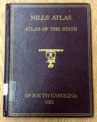
Mill's Atlas of South Carolina, an atlas of the districts of South Carolina in 1825 compiled by Robert Mills, Engineer and Architect shows significant land or name markings, including churches, ferry locations, some plantations, and mills. This edition has been reproduced from the from the 1965 reprint edition by Charles E. Lee, Director of the South Carolina Archives Department, 1979, and is available to use in the South Carolina State Library.